

The Environment Agency Flood Map is a helpful tool for those living in areas at risk of flooding. It allows users to check their local area for areas that are likely to be affected by flooding and plan accordingly. The map also helps people assess their individual risk of flooding, allowing them to make informed decisions about their property and other assets at risk. The map is updated regularly with the latest information, giving users the most up-to-date information available.
The lead local flood authorities (LLFAs) are mandated to produce and update flood risk maps for surface water on an annual basis. These must be verified by LLFAs in order to produce appropriate plans for mitigation measures. Should residents encounter any uncertainty during this process, they should consult our long-term flooding information service that provides up-to-date hazard mapping data.
The Environment Agency Flood Map is available on their website for free. It provides an interactive map for anyone to view current and projected flood risk in England, Wales and Scotland. This map allows individuals to check if their home or business is at risk of flooding and to plan for future flooding. It also includes information about what to do before, during and after a flood as well as tips on how to prepare for flooding. The Environment Agency Flood Map is a valuable tool for anyone who may be affected by floods.

The Environment Agency Flood Map features a comprehensive range of data to help people understand where flooding could occur and how to prepare for it. It includes a 3D view of the floodplain, details on flood risk, interactive maps that can be zoomed in and out, and a searchable database of flood warnings, alerts, and defences. This map provides an invaluable tool for planning, understanding and managing flooding risk in areas across the UK.
These maps display the likelihood of surface water flooding in flood risk zones and its potential impacts on society, industry, and the environment. They are based on analyses from 2018 that resulted in preliminary flood risk assessments which were consulted upon for their publication earlier this year.
The Environment Agency last updated their flood maps in 2016. The maps were compiled to provide an up-to-date, accurate picture of flood risk across England and Wales, and are regularly checked and updated by the Environment Agency to ensure the most up-to-date data is available. The maps are a key tool for helping people, businesses and communities understand their local flood risk and take action to reduce their risk of flooding.
The Environment Agency has launched a new online flood map, allowing people to check their long term flooding risk. This new tool allows individuals to type in their postcode or location to assess the risk of flooding in their area over the next five years. The map also includes historical flooding information, helping people to make informed decisions about the safety of their property. This new tool is an invaluable resource for those living in areas at risk of flooding
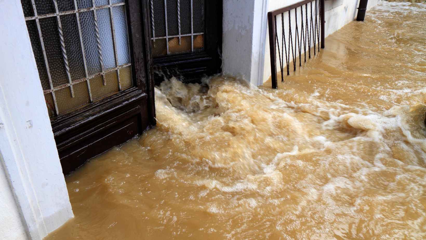
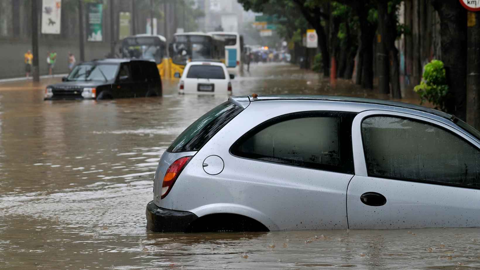
If you spot flooding in your area, the best course of action is to stay safe and stay informed. If you are in a flooded area, do not attempt to cross floodwaters. Contact the emergency services immediately. If you are outside of a flood zone but notice flooding near your property, take precautions to protect yourself and your property. This could include removing furniture and items from high-flood zones, closing doors and windows, and turning off electricity and gas appliances. If you are concerned about the safety of someone in your area, please contact the emergency services or your local council.
The Environment Agency Flood Map is a valuable resource that will help you to stay safe during a flood. By following the instructions on The Environment Agency Flood Map, you will be able to keep yourself and your family safe.